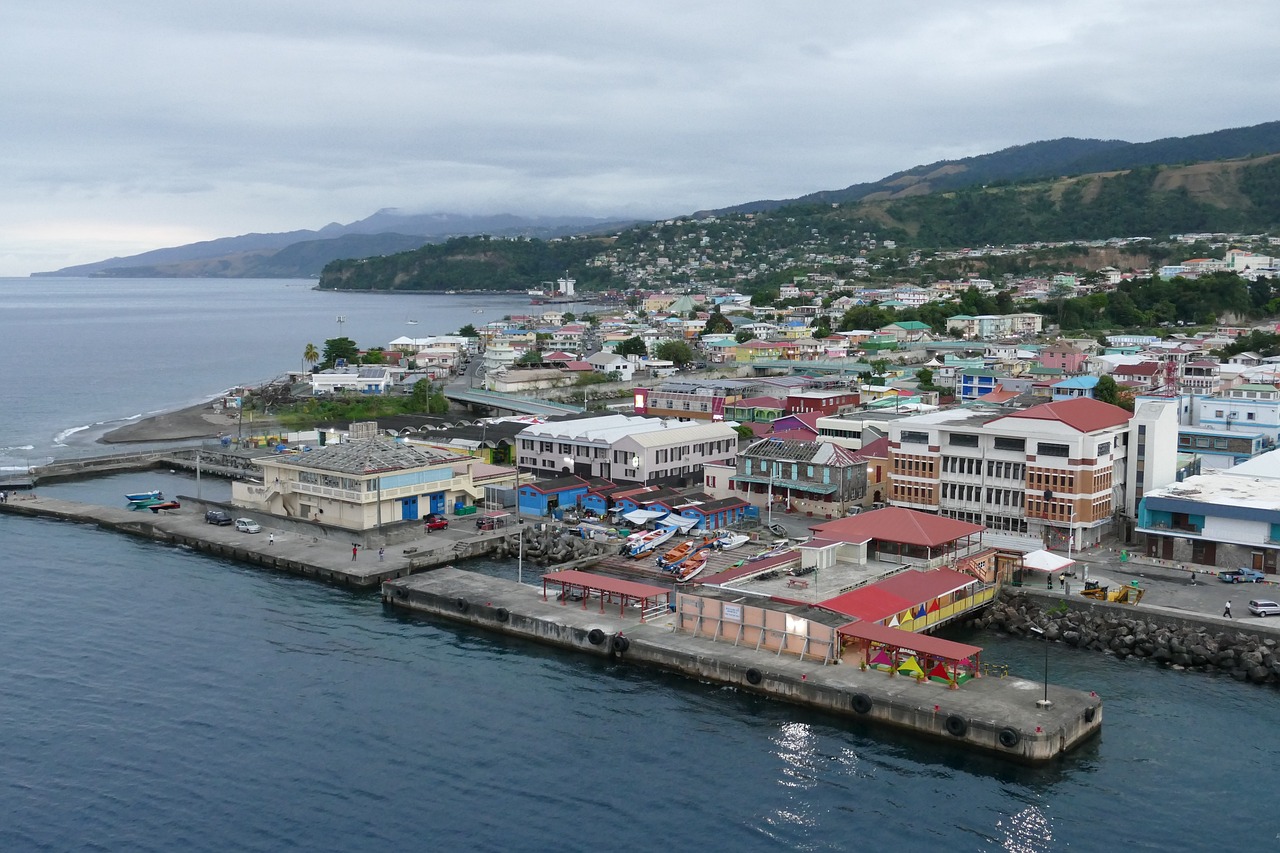
Dominica's location in the Eastern Caribbean has exposed it to some of the Atlantic's most powerful hurricanes. From the 1834 Padre Ruíz hurricane through Category 5 Maria in 2017, the island's hurricane history reveals a pattern of devastating impacts and lessons about preparedness.
Grenada's position near the southern edge of the Atlantic hurricane belt has not spared it from devastating storms. From Hurricane Janet in 1955 to Hurricane Beryl in 2024, the island has endured repeated impacts that have shaped building codes, emergency preparedness, and national resilience.
Guadeloupe's position in the northern Lesser Antilles places it directly in the path of Atlantic hurricanes. A comprehensive look at major storms from 1928 to 2025 reveals patterns of vulnerability and the devastating potential of powerful systems.
Martinique sits squarely in the Atlantic hurricane belt, facing frequent threats from tropical systems tracking westward from Africa. The island's recorded hurricane history spans centuries, from the catastrophic Great Hurricane of 1780 to recent storms like Hurricane Dean in 2007.
Montserrat's position in the Leeward Islands places it directly in the path of Atlantic hurricanes. From the catastrophic 1899 San Ciriaco Hurricane to Hugo's devastation in 1989, the island has endured some of the Caribbean's most intense storms.
Saba has been struck or significantly affected by roughly 68 tropical systems since 1851, with the most powerful recorded impact from Hurricane Irma in 2017. This comprehensive history documents major hurricanes, damage patterns, and what the record reveals about the island's exposure to Atlantic tropical cyclones.
Saint Barthélemy sits in one of the Atlantic's most hurricane-prone zones. From Hurricane Donna in 1960 to the catastrophic impact of Hurricane Irma in 2017, the island has faced repeated major storms that have shaped its infrastructure and emergency preparedness strategies.
Saint Croix sits in one of the most active hurricane corridors in the northeastern Caribbean. A documented history of major storms spans from the 18th century through today, with some of the most destructive hurricanes in Atlantic history making direct or near hits on the island.
Saint Kitts and Nevis sits squarely in the Atlantic hurricane belt, with over 80 recorded tropical cyclone events in post-Columbian history. From Hurricane Hugo's devastating 1989 strike to Hurricane Georges' catastrophic 1998 direct hit, the islands have endured repeated major storms that have shaped building codes, disaster management, and community preparedness.
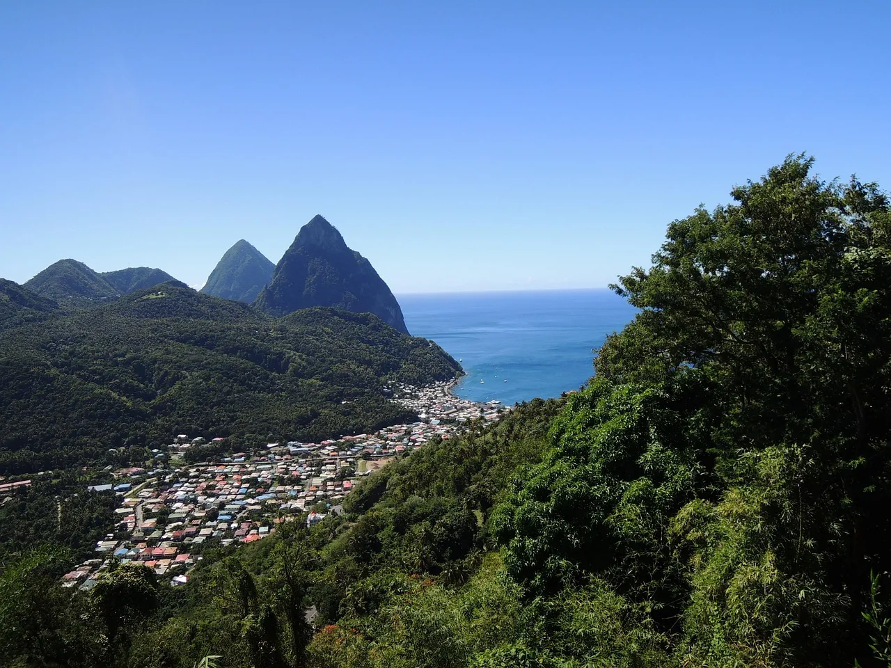
Saint Lucia's position in the Windward Islands places it directly in the path of Atlantic hurricanes. This comprehensive history documents major storms, their impacts, and what they reveal about the island's hurricane vulnerability.